
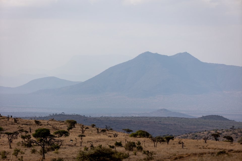
Use these Maasai Mara maps to connect gates, airstrips, conservancies, rivers and selected camps. Search by place or category, then open the detailed guide. The map explains the landscape; the booked camp and authorised access determine the actual journey.
Search the Maasai Mara map
Loading place list…
G GatesA AirstripsC ConservanciesR RiversL Camps and lodges
Conservancy labels mark mapped areas, not entrances. River references show geography, not current herds or confirmed crossings. Use the linked guides and your arranged route for access.
Read the landscape before choosing a route
Gates and airstrips
Different arrival points serve different accommodation and viewing areas.
Conservancies
Mapped outlines orient the wider landscape; conservancy access is organised separately.
River references
Geographical context, separate from seasonal animal movement and current crossings.
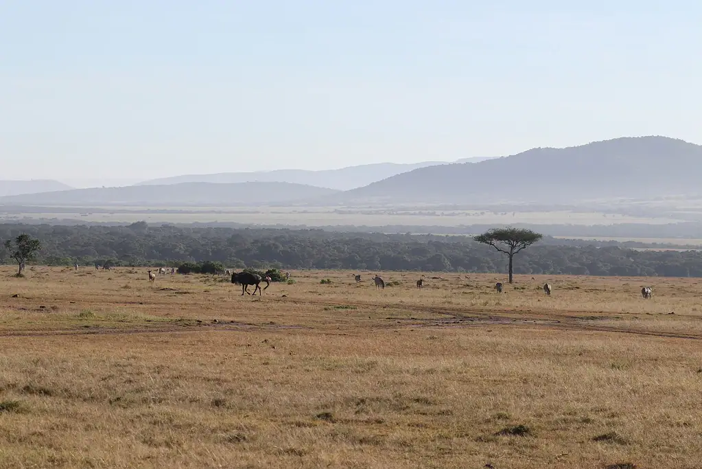
Use the map to connect the actual places
The Maasai Mara destination includes the National Reserve, its western Triangle sector and surrounding community conservancies. A camp, gate and airstrip are different places with different roles. Search the map for the booked property or access point, then open its guide to understand the relationship.
This map presents a researched selection of geographical locations and mapped conservancy outlines. It is not a complete list of every camp or entrance. The linked gate hub, airstrip hub and lodge directory provide the broader published guides.
Gates and flights follow the named accommodation
Sekenani and Talek are main-Reserve entrances, while Oloololo serves the Triangle approach. A room described as near a gate can be outside the Reserve. The camp’s actual location and agreed programme determine the practical route and admission arrangement.
Musiara, Keekorok and Mara Serena are separate airstrip references. Match the booked service and camp collection; a straight line from an airstrip to a room is not a driving instruction. The flight guide explains the journey, including the Nairobi transfer. For that airline’s services, use Safarilink’s airstrip and baggage information when arranging the booking.
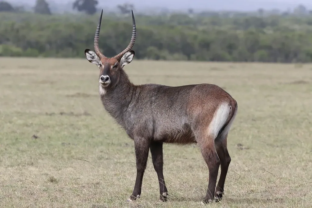
Conservancy outlines describe areas, not unrestricted access
Mara North, Ol Kinyei and Enonkishu are shown as mapped areas with a label. The label is not an entrance pin or camp location, and the outline is cartographic context rather than a surveyed legal boundary. Visitor access follows the conservancy’s organised arrangements.
The Reserve, Triangle and conservancies share an ecological landscape but have distinct visitor rules. Read the Reserve-versus-conservancies comparison before treating neighbouring areas as one admission product.
Rivers and crossing context are different from herd locations
The Mara River reference beside Purungat Bridge and the Sand River reference identify real geography. They do not locate current herds, predict a crossing or define a safe viewing position. Animals move in response to conditions, and the guide follows permitted access and ranger instructions.
Use the Great Migration map for broad seasonal context and the crossing-area guide for viewing information. A named river or riverfront camp is not a guaranteed crossing booking.
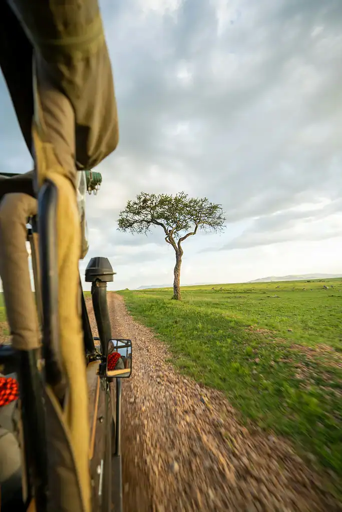
Selected camp locations help compare bases
The camp layer links mapped locations to actual published property guides. A point identifies the property’s geographical setting; it is not a booking availability feed or a promise that every road shown is open. Match the full property name and the arrival instructions in the itinerary.
For a short stay, repeated journeys between distant areas reduce time available for observation. Choose a coherent base and programme before selecting multiple landmarks. The stay-length guide explains how nights and full wildlife days fit together.
Continue planning your Maasai Mara safari
Use the map with the place guides
The gate guide explains entry points; airstrip planning connects flights with camp collection. Read Mara areas and the conservancy comparison for the meaning of the named locations.
For a sector choice, compare Mara Triangle versus the main Reserve. The map is an orientation tool, while the booked programme establishes the route and access.
Explore safari packages
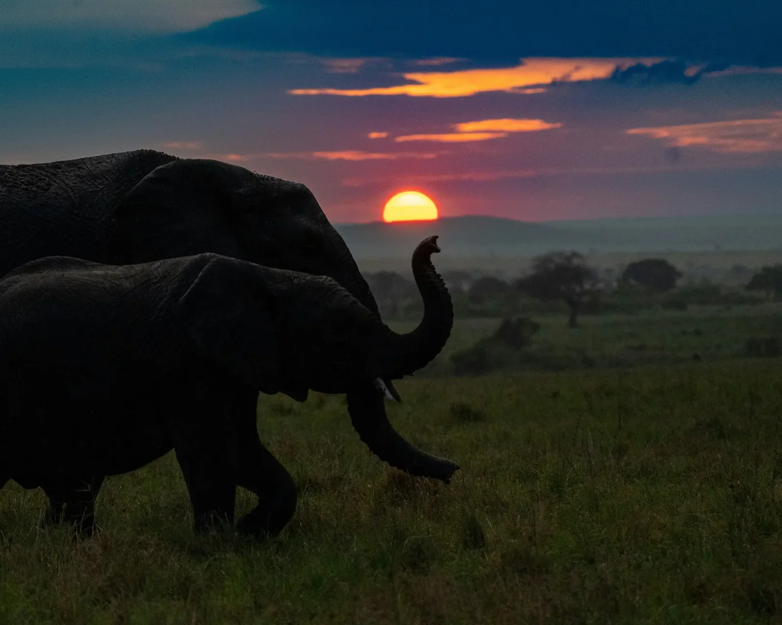
From USD 1,200 per person sharing
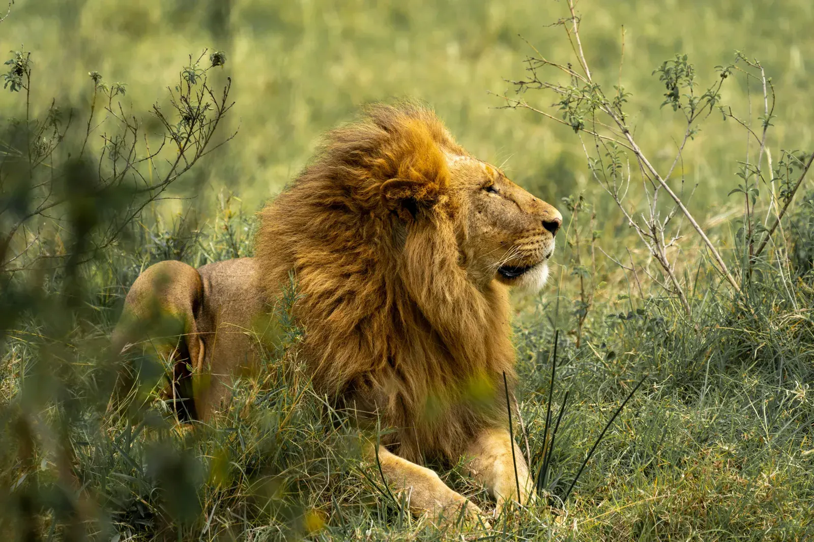
From USD 1,700 per person sharing
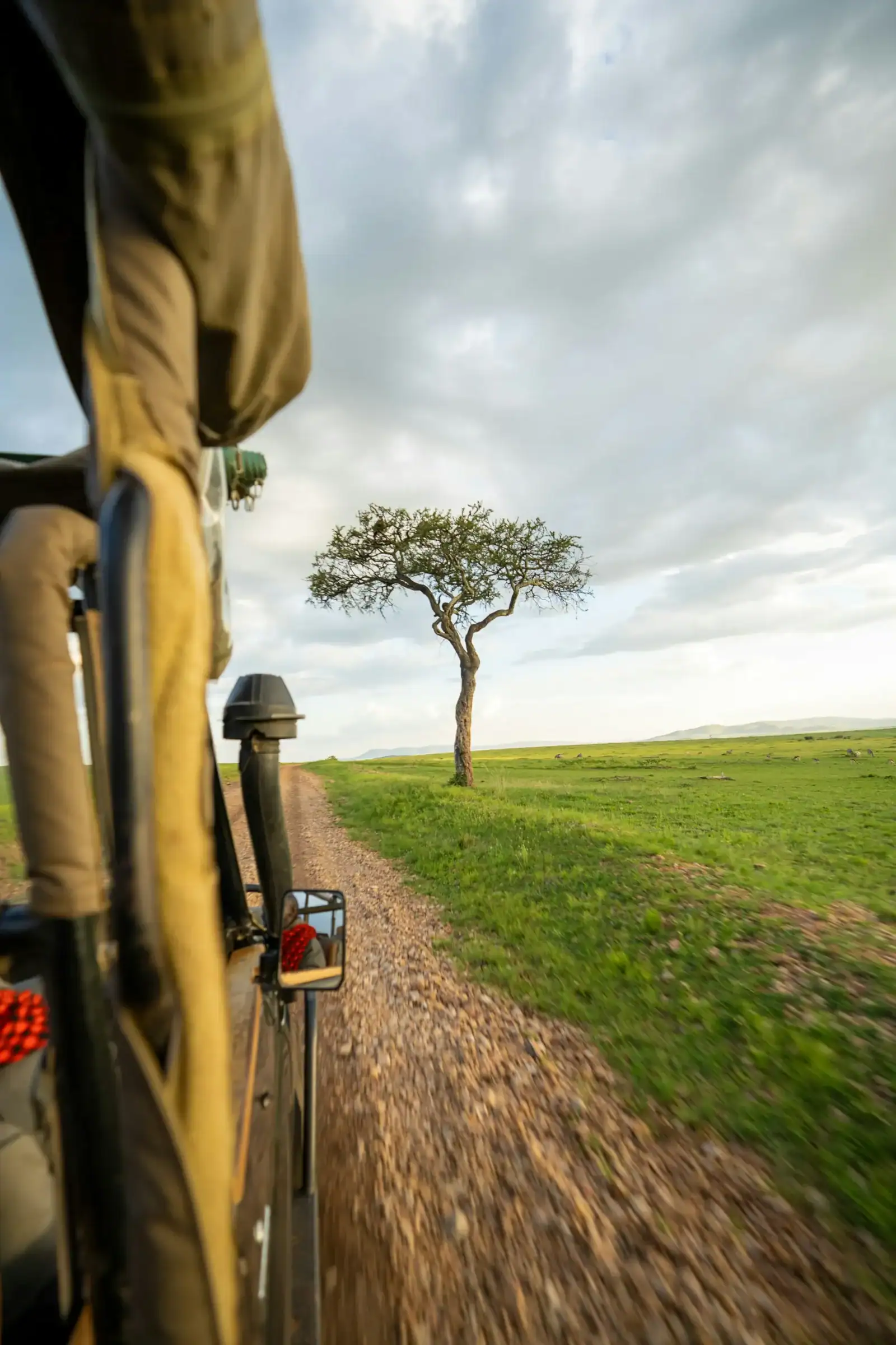
From USD 2,450 per person sharing
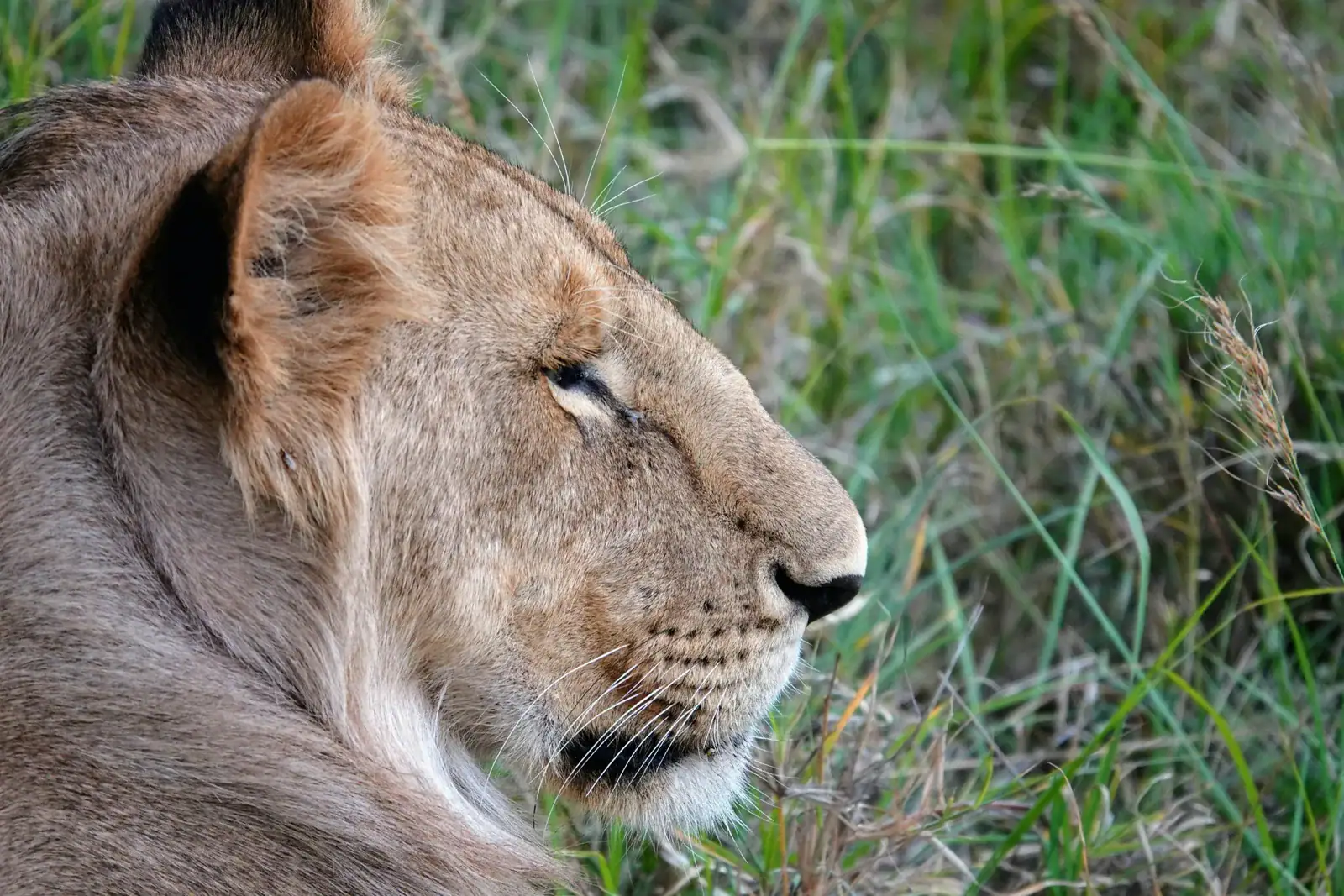
From USD 3,000 per person sharing
From USD 1,500 per person sharing
From USD 2,000 per person sharing
From USD 2,350 per person sharing
From USD 1,950 per person sharing
From USD 1,700 per person sharing
From USD 2,900 per person sharing
From USD 3,800 per person sharing
From USD 4,900 per person sharing
From USD 4,550 per person sharing
From USD 3,350 per person sharing
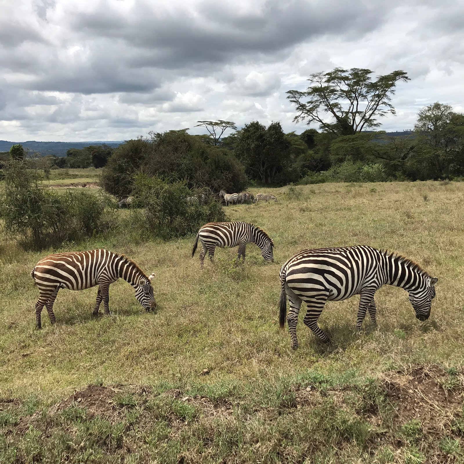
From USD 3,000 per person sharing
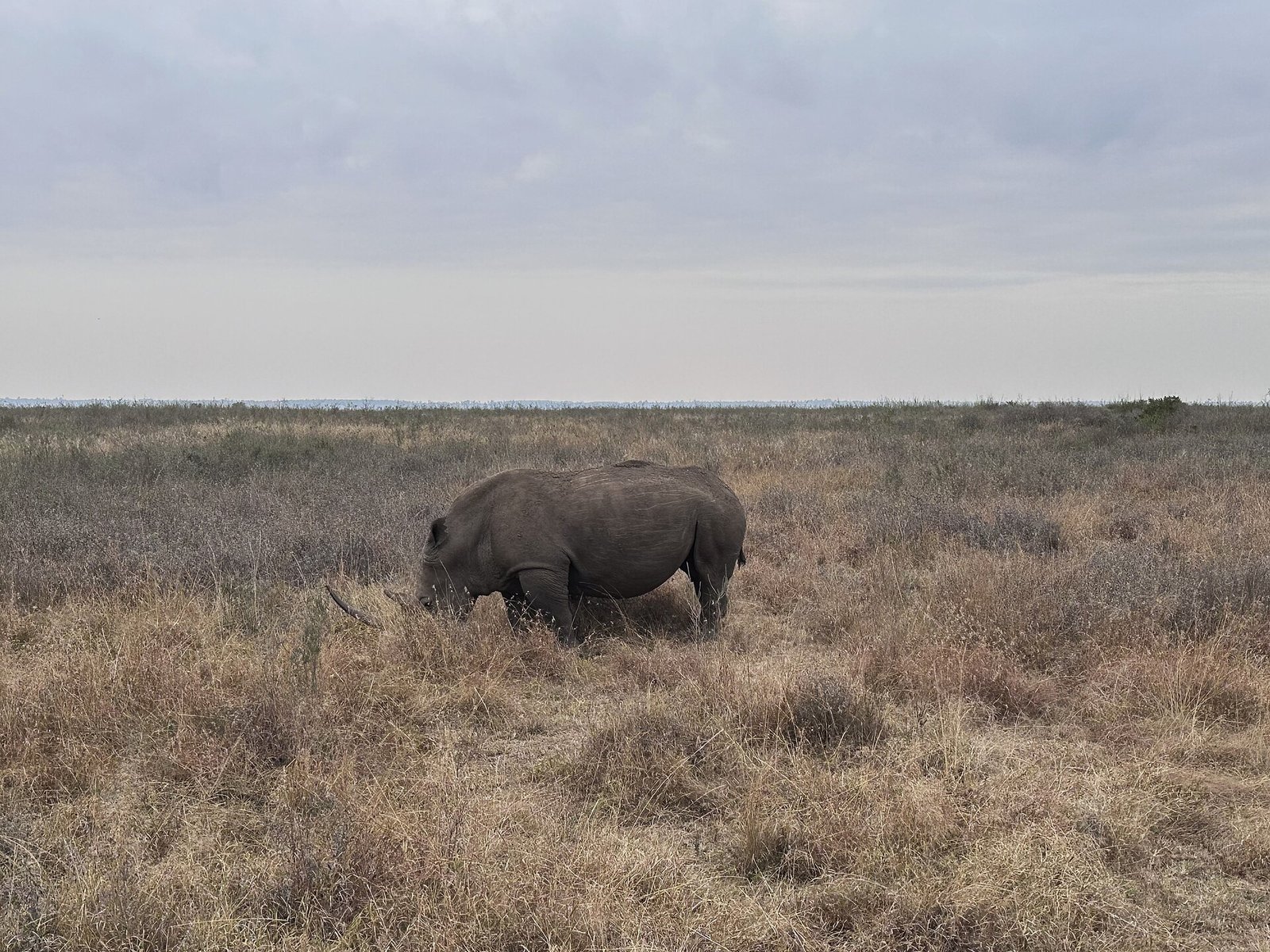
From USD 3,150 per person sharing
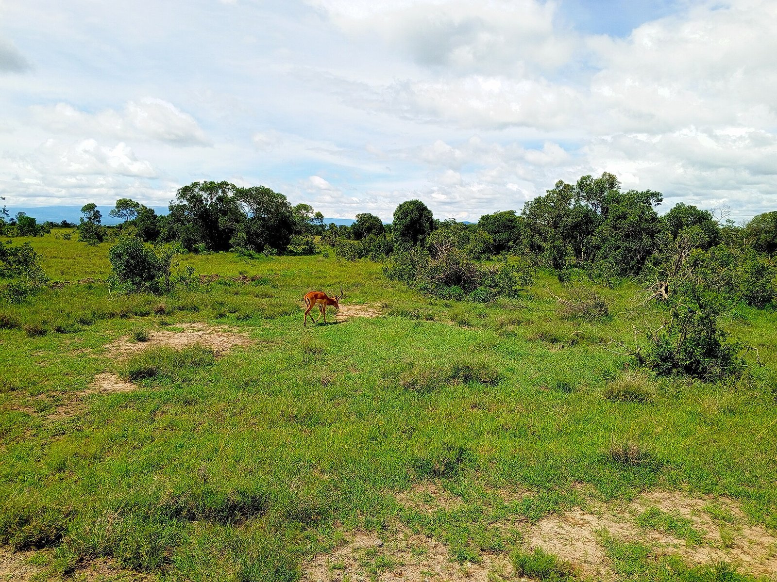
From USD 3,750 per person sharing
Plan your private Maasai Mara safari
Share your dates, party and interests with MaasaiMara.ke. We quote and book private safaris through authorised tour operator partners, with dedicated vehicles and guiding for your travelling party.